
A prolonged period of hotter-than-average temperatures in the crater lake of New Zealand’s Mt Ruapehu has seen the country’s media questioning whether another eruption is on the cards.
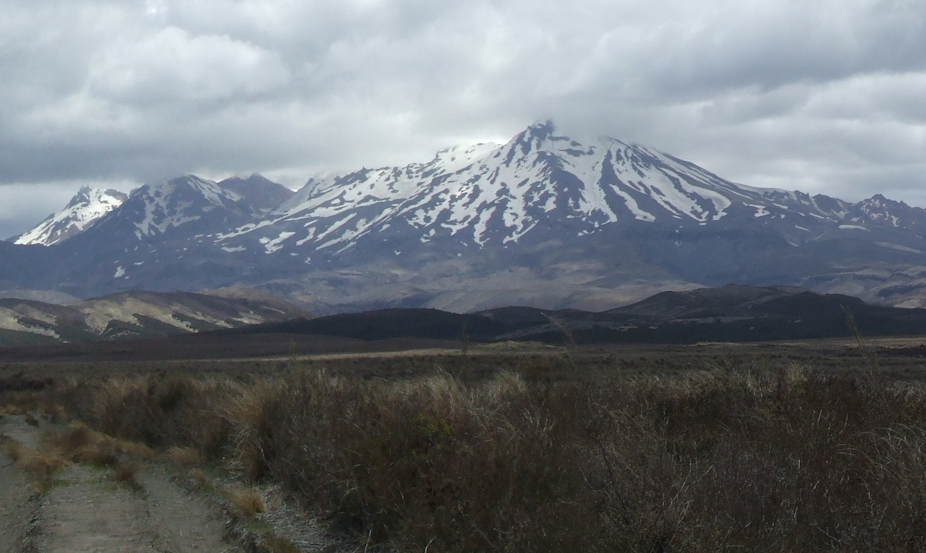
Mt Ruapehu (Māori for “exploding pit”) is one of New Zealand’s most active volcanoes, and its last major eruption in 1995-96 left a layer of fine ash over much of the North Island.
Major eruptions such as that of 1995 occur approximately every 50 years, but minor eruptions are much more common, occurring every one to three years on average.
Hot under the collar
The temperature of Ruapehu’s crater lake normally ranges between 10 and 45°C every six to twelve months but in the last week, volcanologists from GNS Science have noticed that the temperature has remained stubbornly high, at around 38-39°C.
As a result GNS Science has increased the eruption alert level from zero to one; from “usual dormant or quiescent state” to “signs of volcano unrest”.
So does this mean that an eruption is imminent? Well, the answer might be less dramatic than the media has suggested thus far.
Predicting the future
Unfortunately, the temperature of the crater lake is not as good a predictor of activity as we might wish: eruptions have occurred with both hot and cold lakes in the past.
In order to be as prepared as possible, volcanologists monitor a wide range of phenomena which are known to change when an eruption is imminent.
One key indicator on Ruapehu is the chemistry of the crater lake, particularly levels of magnesium which increase when the lake is exposed to new lava or magmatic fluid.
Other indicators include small earthquake swarms, and deformation of the mountain itself, which could indicate magma movement.
These indicators are monitored remotely using seismometer arrays, microphones, webcams and regular sampling of the crater lake and gas emissions.
In New Zealand this monitoring is carried out by a wide range of authorities, including GNS Science, local councils and the Departments of Conservation and Civil Defence. Regular updates and hourly webcam footage are posted on the GeoNet website.
In the last few weeks, the lake chemistry has changed, there has been an increase in carbon dioxide output and there has been some unusual seismic activity which was not observed in previous heating cycles.
If these signs are anything to go by, we might well be due for another burp from the mountain.
Looking further ahead
Longer term predictions of volcanic eruptions are much more problematic, especially at Ruapehu.
The main vent is thought to be fed by a number of small magma chambers about one to five kilometres in depth, with a complex system of volcanic dykes linking these together. Predicting the flows into and out of this system is obviously a difficult task.
But in a paper in Science in 2007, scientists from GNS reported changes in the structure of the region underneath the mountain, and suggested that these changes might be due to dykes opening and closing as magma moves through them.
If true, this might be an interesting method for longer term monitoring of magma movement, giving us more warning about an eruption.
And if it does?
People are understandably concerned about Mt Ruapehu erupting but there is an extensive early warning system in place to avoid the worst of the damage.
This system gives authorities sufficient time to warn local residents, close rail and road links around the mountain, and evacuate the ski fields near the mountain’s summit if necessary.
If we do see an eruption, any damage or debris is likely to be contained to within a kilometre or two of the crater (the nearest towns are more than ten kilometres away). However, a more major eruption will have a range of far-reaching effects.
For one, a large ash cloud is likely to disrupt flights around the country, just as the Icelandic volcano Eyjafjallajokull did approximately a year ago.
A similar ash cloud in New Zealand could pose a health hazard if inhaled, could make feeding stock difficult and could leave a big mess for North Island residents and businesses to clean up.
That said, we haven’t yet seen any signs that point to a certain eruption.
Don’t cancel that skiing holiday just yet.