
Modern-day Africa was the keystone of Gondwana, the aggregated mass of southern continents that co-existed for nearly 400m years.
That supercontinent has since split apart, creating the land masses we now recognise as South America, Australia, India, Madagascar, Antarctica and, of course, Africa. And now, a new study published in Nature Geosciences is shedding light on how Africa is breaking up as well.
For the greater part of the Phanerozoic Eon – 500m years ago up to the current era – the Gondwana continents shared a common history and were populated by the same plants and animals. These continents were also marked by a climatic history that indicates the changing “paleogeographic” position (location of the continents over time) of this enormous landmass – roughly twice the size of modern Eurasia.
Things began to change approximately 180m years ago as the modern South Atlantic Ocean, Southern Ocean, and Indian Oceans began to form. One by one, Africa’s Gondwanan partners began drifting away.
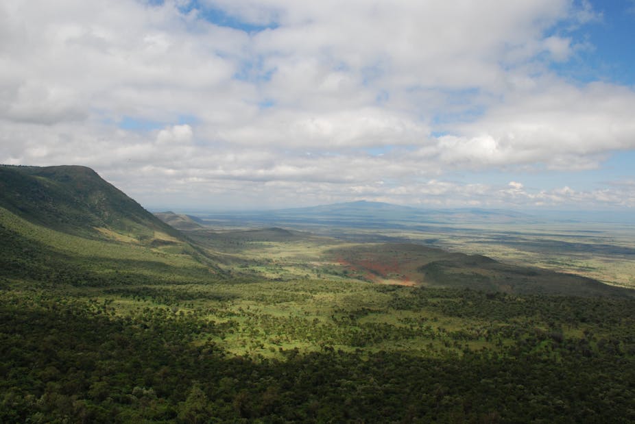
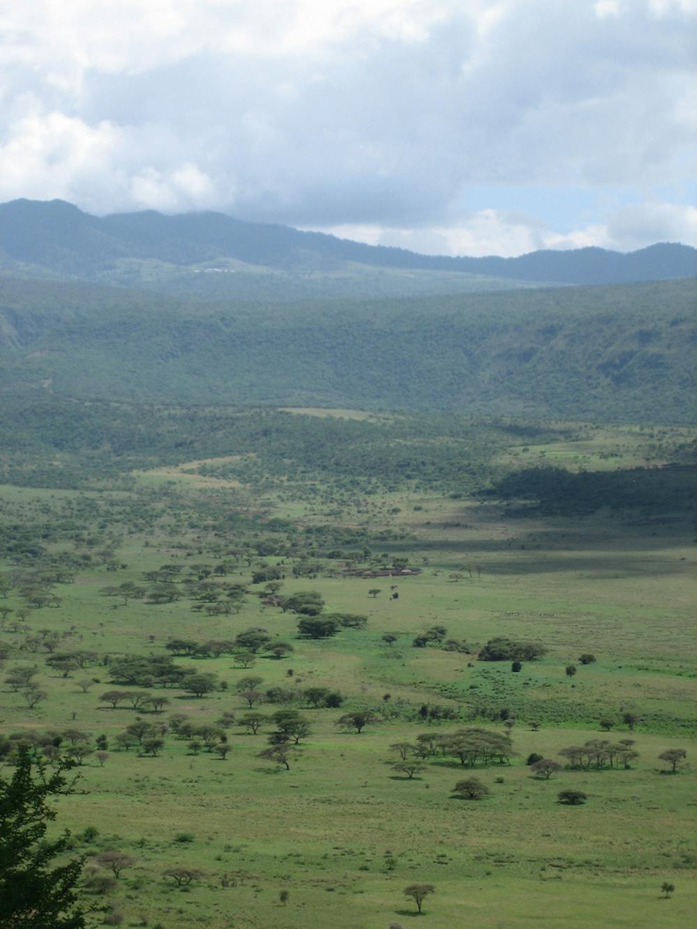
The modern-day East African Rift – an active tectonic plate boundary and one of the geological wonders of the world – is the site of the most recent of these separations, and provides a glimpse of how continents break apart. This is the focus of the current paper in Nature Geosciences by sedimentologist Eric Roberts of James Cook University and colleagues at several Australian and American institutions.
Curiously for a process that leads to the creation of a topographically low basin inundated by seawater – the Red Sea to the north of the East African Rift, for instance – the first stages in the splintering of a stable continent are marked by an increase in surface elevation.
Like the proverbial floating iceberg, which is 90% underwater, the elevation of continents obeys the principle of isostasy: less-dense materials float on top of denser materials.
The elevation of continents reflects the thickness of their crust, which is composed of less-dense material than the mantle rocks below. Mountains are high because of their thick root, which is approximately twice as thick as for the average continent.
Southern and eastern Africa are different, as they have an ordinary thickness of crust, and yet are elevated by more than 1km above the average continent.
So why did the continent rise? Well, it’s down to deep-seated mantle processes occurring far below the root of the continent. Here, upwellings along the margins of a “thermochemical pile” – a massive zone of hotter, or less-dense material – are lifting the entire southern and eastern margins of Africa. This process is much like a boat being lifted by the rising tide.
This uplift, which began in the mid-Cretaceous period (roughly 100m years ago), is causing the African continent to literally break apart. The cracks that form will eventually be filled with dense, mafic rock – material rich in magnesium and iron – that forms the modern oceanic crust.
When this uplift occurred is an enduring question for geologists and one that Roberts and colleagues have begun to answer.
From their study of the Rukwa Rift Basin (RRB) in Tanzania (see map above) – the western, presently-non-volcanic branch of the East African Rift system – Roberts and colleagues were able to reconstruct the shifting course of rivers that mark this dynamic landscape.
The researchers first matched the pattern of magnetic reversals found in the sediments deposited by these rivers to the known history of Earth’s geomagnetic field, known as the Global Polarity Timescale.
Rocks contain lots of magnetic minerals that can be “frozen” in place when the rock forms, aligning with the earth’s magnetic field at that time. The earth’s geomagnetic field has undergone many changes in direction though geological time, periodically switching from a “normal polarity” – when, like today, the north magnetic pole points to the North Pole – to a “reversed polarity” – when the north magnetic pole points to the planet’s South Pole.
Next, the researchers determined the age of volcanic ashes deposited on the ancient river banks from nearby, now-extinct volcanoes.
Some volcanic minerals are rich in radioactive elements such as uranium. Since the rate at which these radioactive elements break down is known very precisely, the age of the mineral can be determined by measuring the ratio of atoms of the parent isotope – such as Uranium-238 – to the daughter isotope created by the decay of the parent isotope.
The agreement between the volcanic rocks interbedded with the “fluvial sediments” (from rivers and streams) and the record of magnetic reversals recorded by the sediments indicates these rocks were being deposited by Oligocene rivers 25m years ago – some 14m years earlier than previously estimated.
The researchers extended their analysis to the sediments being carried by these ancient rivers.

Rivers flow over bedrock provinces with different geological ages. As the river scours through this bedrock, producing sediment, this material is carried downstream.
If the course of the river changes, say, in response to surface uplift, then the sediment being carried by the river will reflect a change in source region. By determining the age of the minerals within the ancient river sands, Roberts and colleagues were able to fingerprint the various regions the river had once flowed through.
The researchers observed that the Cretaceous Congo River was largely flowing to the north west, with sediments mainly derived from the geological provinces to the south east. (This is the same direction the Congo River currently flows in.)
But by the Oligocene (roughly 34-23m years ago), the river had reversed course entirely, flowing to the south east.
Since changing the direction of a river’s flow requires a major reorganisation of continental topography (picture the Amazon River flowing west, towards the Andes), the researchers conclude that uplift of eastern Africa was already underway some 25m years ago.
The changing record of this ancient river’s flow direction now demonstrates when and where the uplift of the eastern African continent began. The first step in the break-up of Africa is well-underway.
Sure, it might still be millions of years before Africa splits in two, but this new research provides valuable insight about the ever-changing surface of our planet.
You might even call it “groundbreaking”.